LiDAR

LiDAR Launch

What This New LiDAR Launch Means for Mapping Professionals

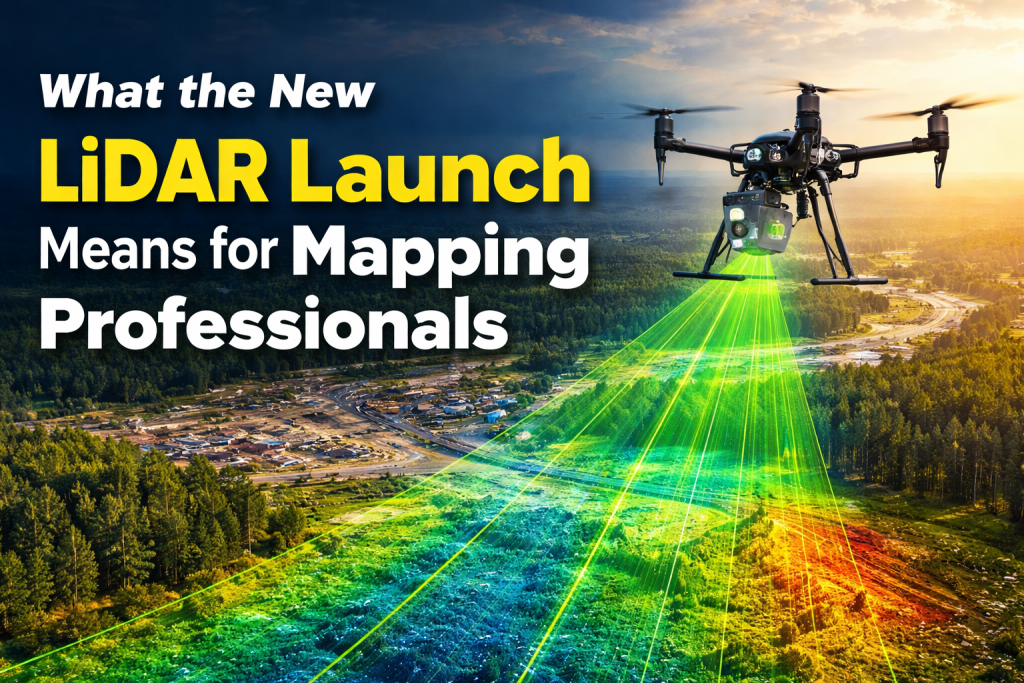
The recent LiDAR launch has created a lot of excitement in the mapping and surveying world. Many mapping professionals are asking the same question: what does this new technology really mean for our daily work? LiDAR, which stands for Light Detection and Ranging, has already changed how we measure land, buildings, forests, and roads. With […]

What This New LiDAR Launch Means for Mapping Professionals Read More »

LiDAR Drone for Accurate Mapping

Build a Low-Cost LiDAR Drone for Accurate Mapping — Guide

If you’re looking to get into mapping without spending a lot, building your own LiDAR drone can be a smart choice. This guide walks you through the entire process step by step — from understanding the technology to conducting your first mapping flight. LiDAR drones create detailed 3D maps using laser light to measure distances,

Build a Low-Cost LiDAR Drone for Accurate Mapping — Guide Read More »